

AR AlpineGuide
Hot Novels






Install Tips
AR AlpineGuide Review
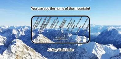
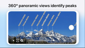
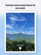
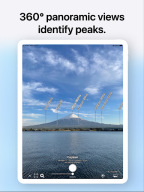
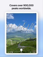
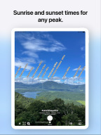
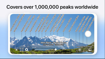
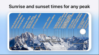
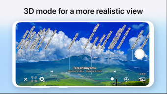
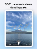
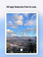
Point your Android device at the mountain and you'll see the peak's name, altitude, and distance!
This app has been renamed from "AR Map World Peaks".
■ It has data from nearly one million peaks around the world.
■ Even if you tilt the camera, the name is displayed on the mountaintop using 3D coordinates and a gyroscope, so it is easy to check.
■ Since the guideline of the same shape as the ridgeline is displayed, you can accurately match the position of the mountaintop.
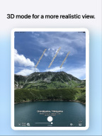
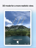
■ Point your Android device down to switch to a 3D view overlooking the sky.
■ You can check the terrain and mountain names that can be seen from the specified location on the map.
■ You can take a picture with the name of the mountain and share it on SNS or email.
■ Swipe to adjust the position of the mountain name.
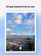
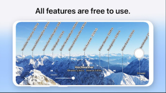
■ All features are free!
* If the direction is incorrect (such as when the north is always displayed), if the Android device has a cover, or if the case has a sensor, remove it. The metal or magnet on the cover may interfere with the sensor and cause malfunction.
Changelog
Fixed a bug that crashed rarely.
Fixed an issue where saving photos took a long time.
Improved the user interface.
Updated terrain data to high-resolution data.
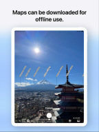
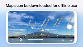
Offline terrain data has changed. Reload is required.
Other minor corrections were made.
Additional information
Screenshots

Reviews
Recommend Article









Similar Apps
Find lost phone location & ring silent phone with help of find my phone tracker

Instant diesel discounts - save big with each fill up!

Ride or drive at YOUR price

Plan, book, and manage international train travel easily.

Become a driver with LINE MAN, earn good income, choose your working hours. (for motorcycles)

area measure, land measure, length measure, kml, gps, geojson, measurement app